No . . I’ve been tied up with spring cleaning . . . really. But the blog needs to break out. Here’s Davis Sea pushing up the Rondout past Petersburg and Hackensack.

And all the rest here from Paul Strubeck’s lens/flickr account, and all take between 60 and 110 miles north of the sixth boro. Cheyenne,


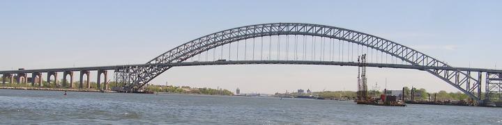
and a government boat, Wire.

And as I post this, here downriver, it FEELS like a thaw, like a hint of spring in January.
Many thanks to Paul Strubeck for these fotos. Paul works on Cornell.
The google map below has two points marked; all fotos above were taken between those points.


3 comments
Comments feed for this article
January 19, 2010 at 2:56 pm
naveganteglenan
Hola tugster.
Great pictures, some miles far from the sixth boro, at that woodyland 🙂
Would be great to be able to know precisely where had then be taken.
Hint: Localize the geographic area in Google Maps. Right click at the precise point. You will get the coordinates, for instance somethig like: “40.477927,-74.358215”
Get the GeoHack. Introduce the coordinates in decimal format (minus included), and push the button “Do it”. You will get a web page with many of your favorite GeoBrowsers. Page that you can link in your particular post, for our pleasure 🙂
January 19, 2010 at 3:00 pm
naveganteglenan
Hola tugster.
When you right click at the precise point, you must release at the bottom choice (labeled something like “what is in here?”) 🙂
January 19, 2010 at 8:22 pm
tugster
navegante– good suggestion. most of my posts are in new york harbor, but as you point out, some are not and it helps to have a map. you will see i embedded a map at the end of the kingston, new york post. all the fotos in the post were taken somewhere between the 2 blue push pins i added to the map. i could not be more specific with some of these fotos because they were taken from my friend paul’s flickr page. happy new year. always a pleasure to hear from you.