You are currently browsing the daily archive for October 19, 2020.
Palatine Bridge is where the lodging was, but the trail runs on the south side here, so when I departed at a bit past 0700, I needed to cross back to the Canajoharie side and then head east. In the middle of the river/canal, a boat heads east as well, to get out of the canalized river before the locks close . . . a few days hence. As I write this, the canal has closed for the season. The photo below was taken in the same location as photo 4 here.
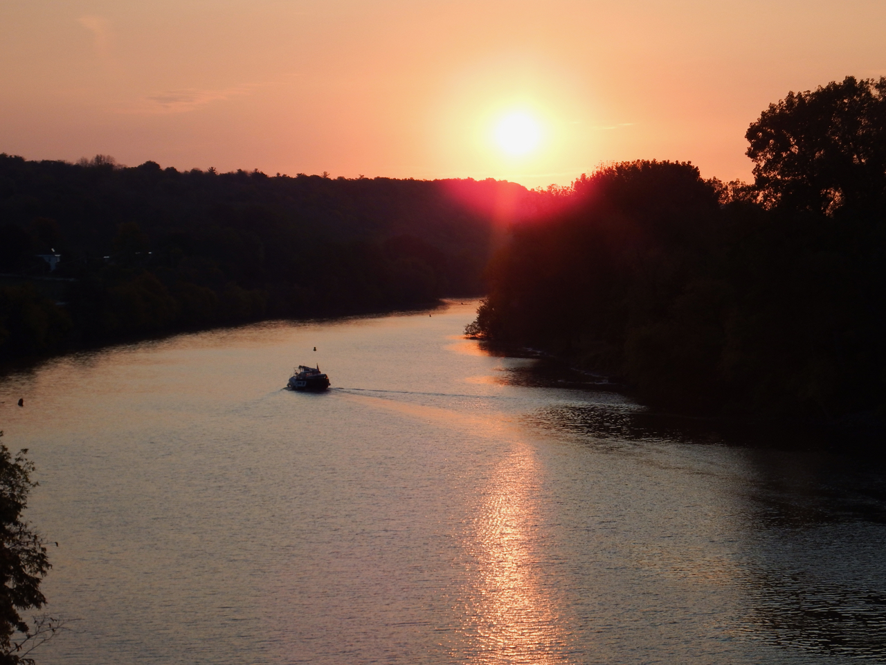
Visible to the east of Canajoharie is the Noses, a geological fault, the gap that has made this a trail since time immemorial. See the fog between the two ridges?
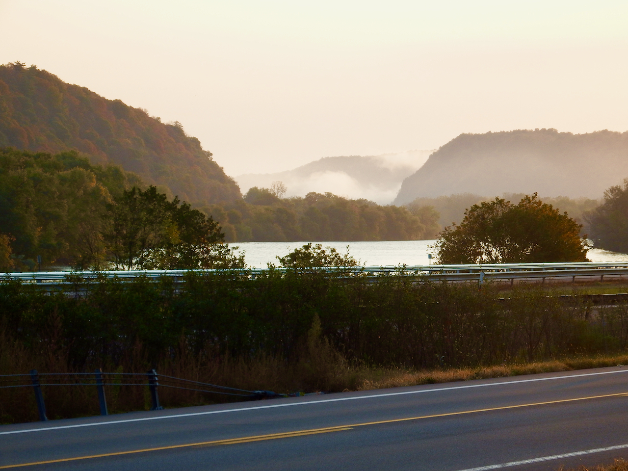
Here’s a shot from the Thruway a bit to the west, but the photo illustrates the localization of fog in the Mohawk valley in early fall . . . the water is still warm whereas the air is at least 20 degrees cooler. The fog effectively illustrates the water course. Yes, I have a crack starting in my windshield.

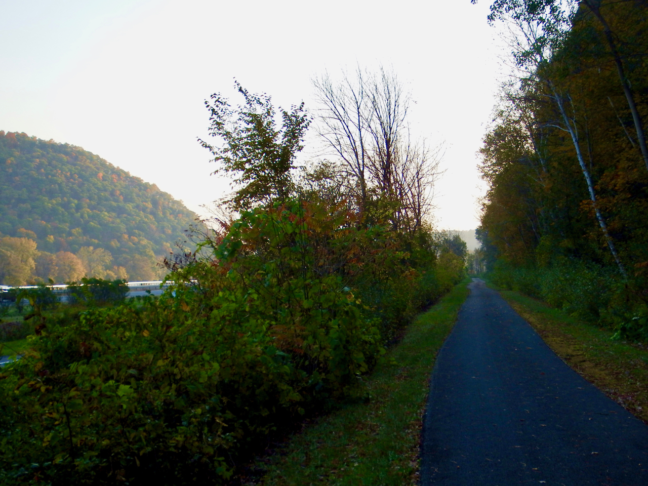
Back to the gap, I took this photo from the bike trail, the southernmost thoroughfare through the gap. Next is 5S, next are the four lanes of the Thruway aka I-90, next . . . where the boat is is the Mohawk, and beyond that and not visible in this photo are the existing railroad–Amtrak and freight–and then 5N. The vessel is Hornblower Express, being repositioned to Toronto, also getting through the system before it closes for the season

The bike trail here looks like this.
The next town headed east is Fultonville, across the river from Fonda. Traveling on the water, you barely sense Fultonville, but named for the artist and tinkerer associated with steam-powered river transportation, this town has been here since the opening of the Erie Canal in 1825. Below, that’s the Fultonville Reformed Church.

A bit east of the church is the old West Shore freight house, a remnant of the previous life of the bike trail . . . once the railed trail

A half dozen miles to the east, we cross Schoharie Creek. That’s the Thruway bridge in the distance; Schoharie Creek is the Mohawk’s largest tributary. The Mohawk and lock E-12 lie behind the photographer here.

Still see the Thruway bridge in the distance? The bridge serving as my photo platform and bike trail here no longer serves cars and trucks . .

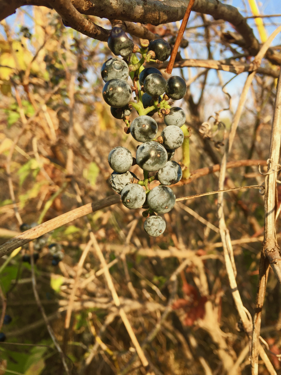
As I rode I craved fruit. This time of year, the wild grapes are very tasty.
A half dozen miles east of Schoharie Creek is the old lock 28 and Yankee lock. The ridge in the distance is the location of Amsterdam NY.

Here that ridge continues as part of western Amsterdam NY. Note the rail traffic on the opposite side of the Mohawk? Pink containers come from pink ships . . .

A half dozen miles east of Amsterdam is Rotterdam Junction NY, the home of the Mabee farm, and this the oldest house extant in the Mohawk Valley. Adjacent to it is the old Mabee family cemetery. I first came to the Mabee farm more than a decade ago for the building and splashing of Onrust.

And another stretch beyond that, just before lock E8 is the Hungry Chicken Market and country store in an excellent location not 500 feet from the bike trail. I knew I was approaching my day’s objective . . . Schenectady, so it was a good place to have a snack before the end of the day’s ride.

That’s it for reportage and photos from my day 6. I could have continued on to Waterford that day, but I was ready for a shower and a rest.


Recent Comments